


A property can look like it has plenty of space to build, subdivide or create something new—but that doesn’t necessarily mean all of that land can actually be used.
This week, I learned how zoning and riparian areas can affect what someone may be able to do with a property. I also learned why understanding those details is so important when determining what a property is realistically worth.
It was one of those real estate lessons that started with looking into one property and quickly opened the door to a much bigger topic.
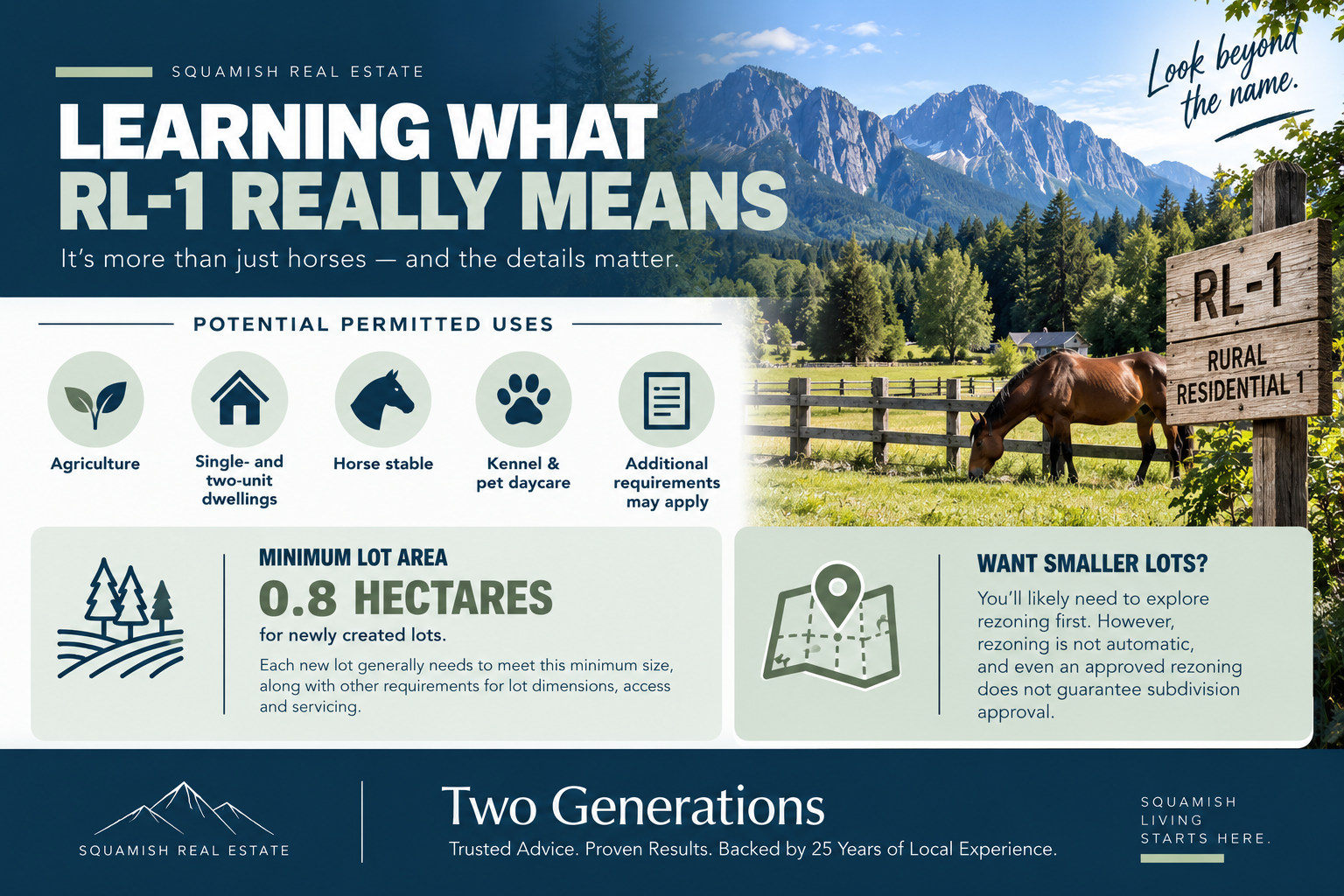
Learning What RL-1 Really Means
I started by learning about RL-1, or Rural Residential 1, zoning, and where to find the information explaining what that zoning allows.
Before this, I thought RL-1 mainly meant horses and rural living. Horses can certainly be part of it, but I learned that the zoning can allow more than I originally realized. The permitted uses can include agriculture, single- and two-unit dwellings, a horse stable, a kennel and pet daycare, although each use can have additional requirements that need to be confirmed.
That made me realize how important it is to look past the name of a zone and read the actual regulations. Two people could look at the same property and imagine completely different uses for it, but the zoning bylaw is where you begin finding out what may actually be possible.
I also learned that RL-1 has a minimum lot area of 0.8 hectares for newly created lots. In simple terms, if an RL-1 property were being subdivided, each new lot would generally need to meet that minimum size, along with the other requirements for lot dimensions, access and servicing.
If someone wanted to create smaller lots, they would generally need to explore rezoning first. However, rezoning is not automatic, and even an approved rezoning would not guarantee subdivision approval.
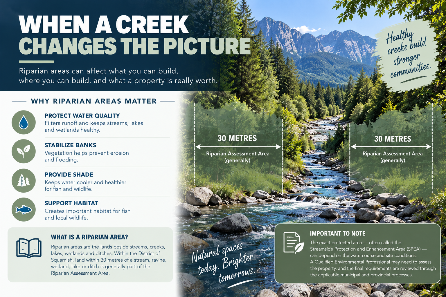
When a Creek Changes the Picture
The next part of my learning was about riparian areas.
Riparian areas are the lands beside streams, creeks, lakes, wetlands and ditches. They help protect water quality, stabilize banks, provide shade and support fish and wildlife habitat.
I learned that having a creek travel through a property can create restrictions around where development or land disturbance may occur. Within the District of Squamish, land within 30 metres of a stream, ravine, wetland, lake or ditch is generally considered part of the Riparian Assessment Area.
That doesn’t mean every property automatically has the exact same 30-metre building setback. The protected area—often called the Streamside Protection and Enhancement Area, or SPEA—can depend on the watercourse and site conditions. A Qualified Environmental Professional may need to assess the property, and the final requirements are reviewed through the applicable municipal and provincial processes.
One of the things I found interesting was that factors such as the stream’s characteristics, surrounding development and the vegetation needed to protect and shade the water can influence the assessment.
This means a property may have a large total area on paper, but a portion of that land could have limited development potential because of the creek and its surrounding protection area.
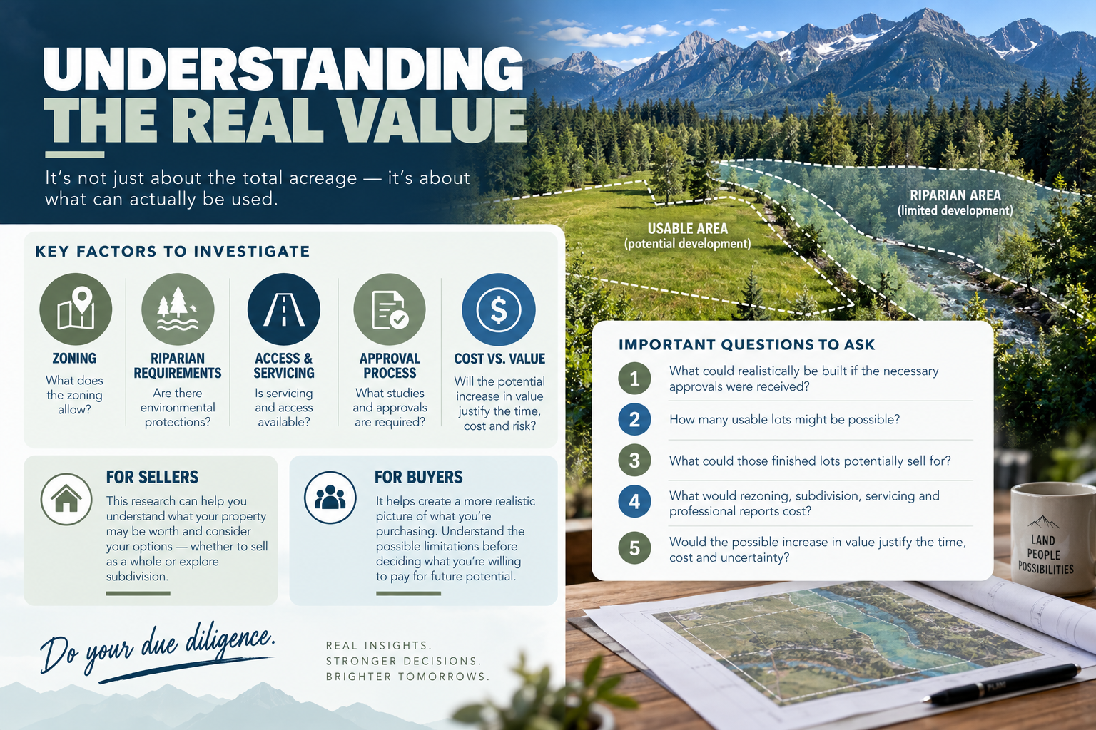
Understanding the Real Value
This brought the zoning and riparian research together for me.
When pricing a property with possible subdivision or development potential, it isn’t enough to look at the total acreage and assume all of it can be used. You need to investigate the zoning, riparian requirements, access, servicing and approval process.
If rezoning or subdivision is being considered, some of the questions that need to be explored include:
What could realistically be built if the necessary approvals were received?
How many usable lots might be possible?
What could those finished lots potentially sell for?
What would rezoning, subdivision, servicing and professional reports cost?
Would the possible increase in value justify the time, cost and uncertainty?
I’m learning that development potential has to be investigated carefully. It shouldn’t be presented as guaranteed value when approvals have not been received.
For a seller, this research can provide a clearer understanding of what the property may be worth and help them consider their options. They might decide that selling the property as a whole makes the most sense, or they may want to investigate whether subdividing and selling individual parcels could be worthwhile.
For a buyer, it helps create a more realistic picture of what they are purchasing. If someone is partly buying a property because of what they hope to build or subdivide in the future, they need to understand the possible limitations before deciding what they are willing to pay.
To me, that is part of looking out for a client’s best interests—helping them ask the right questions so they aren’t paying for potential that may not exist.
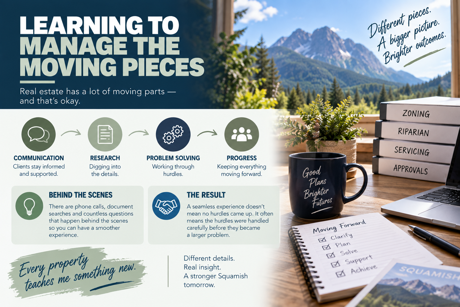
Learning to Manage the Moving Pieces
This week also taught me something about the pace of real estate.
We had a slower period, and then suddenly there were so many moving parts at once. I’m beginning to understand how to manage the different pieces, work through smaller hurdles and keep everything moving as smoothly as possible.
Clients don’t necessarily need to see every phone call, document search or question happening behind the scenes. What they need is to feel informed, supported and confident that the details are being handled.
That is something I’m continuing to learn from my dad: a seamless experience doesn’t mean no hurdles came up. It often means the hurdles were handled carefully before they became a larger problem for the buyer or seller.
I’m still learning how all of these pieces fit together, but every property teaches me something new. This one showed me that zoning, creeks and environmental protections aren’t minor details—they can be central to understanding a property’s use, potential and value.
Follow along as I continue learning the many different sides of Squamish real estate and what it takes to properly look after the people behind every transaction.
 The data relating to real estate on this website comes in part from the MLS® Reciprocity program of either the Greater Vancouver REALTORS® (GVR), the Fraser Valley Real Estate Board (FVREB) or the Chilliwack and District Real Estate Board (CADREB). Real estate listings held by participating real estate firms are marked with the MLS® logo and detailed information about the listing includes the name of the listing agent. This representation is based in whole or part on data generated by either the GVR, the FVREB or the CADREB which assumes no responsibility for its accuracy. The materials contained on this page may not be reproduced without the express written consent of either the GVR, the FVREB or the CADREB.